Contour map of the world with national borders marked. Useful in geography lessons for children and students. It can be printed and used for many exercises, e.g. coloring individual countries, entering their names, etc. The map can be downloaded for free. Black and white PDF file. Excellent vector print quality.
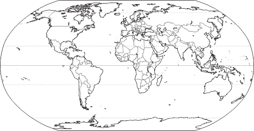
Outline World Map with Borders of Countries.